Golan Heights: History, Geography, and Geopolitical Conflict
The Golan Heights is a strategic plateau located in the Levant, serving as a critical geographic link between the Sea of Galilee and the slopes of Mount Hermon. Internationally recognized as Syrian territory, the region has been occupied by Israel since the 1967 Six-Day War. Its high elevation and commanding views of the surrounding valleys have made it a focal point of military strategy and diplomatic tension for decades.
From its ancient roots as a center of diverse religious and ethnic communities to its current status as a disputed territory, the Golan Heights embodies the complex intersection of history, faith, and modern nationalism.
Key Facts
- Status: Internationally recognized as Syrian territory; occupied by Israel since 1967.
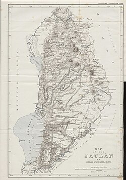
- Total Area: Approximately 1,800 km² (though estimates vary between Israel, Syria, and the CIA).
- Highest Point: 2,814 meters (9,232 ft) at Mount Hermon.
- Lowest Point: −212 meters (−696 ft).
- Population: Approximately 63,000, comprising roughly 31,000 Israeli settlers and 29,364 Druze.
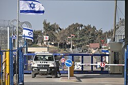
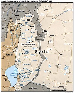
- Supervision: Monitored by the United Nations Disengagement Observer Force (UNDOF).
Geography and Topography
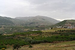
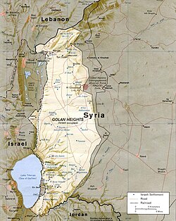
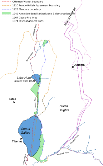
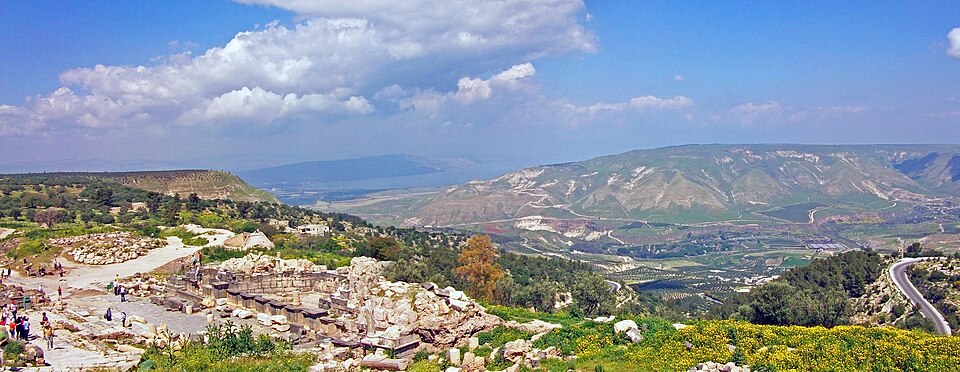
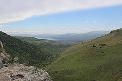
The region is characterized by its volcanic geology and dramatic elevation changes. The plateau slopes from the heights of Mount Hermon in the north down toward the Hula Valley and the Sea of Galilee in the west. This topography provides a significant tactical advantage, as it allows for the surveillance of both the Syrian plains and the Israeli Galilee region.
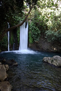
Hydrologically, the area is vital for the region's water security. The Banyas waterfall and other springs at the foot of Mount Hermon feed into the Jordan River system, making the control of these water sources a primary driver of territorial claims.
Territorial Measurements
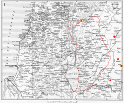
There is significant disagreement regarding the exact size of the territory. Israel reports capturing 1,150 km², while Syria claims the total area is 1,860 km², with 1,500 km² under Israeli occupation. The CIA estimates the area held by Israel at 1,300 km².
Historical Evolution
Ancient and Classical Periods
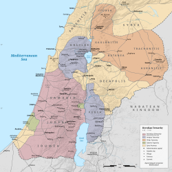
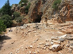
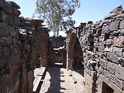
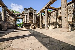
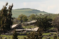
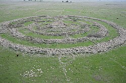
The Golan has been inhabited since prehistory, seeing significant development during the Bronze and Iron Ages. During the Hellenistic and early Roman periods, the region was known as Gaulanitis. It was home to ancient Jewish cities such as Gamla, which was besieged and destroyed by the Romans in 71 CE during the First Jewish–Roman War.
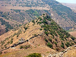
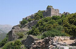
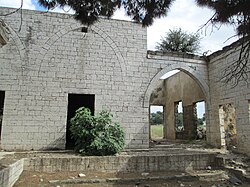
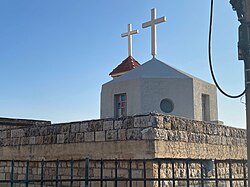
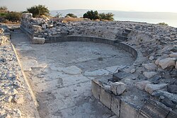
The Byzantine period saw the rise of Christian influence, evidenced by the Church of Deir Qeruh and other ecclesiastical ruins. Later, the region transitioned through Early Muslim, Crusader, and Ayyubid rule, with the Ayyubids constructing the massive Nimrod Fortress, which was later expanded by the Mamluks.
Modern Conflict and Occupation
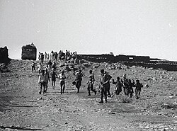
In the 20th century, the region fell under French and British mandates. Following the 1948 Arab-Israeli War, the area became a site of frequent border incidents. The geopolitical landscape shifted permanently during the Six-Day War in 1967, when Israel captured the plateau from Syria.
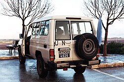
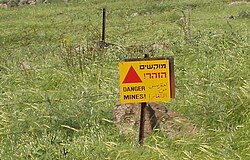
The 1973 Yom Kippur War saw further fighting in the region, eventually leading to the 1974 Agreement on Disengagement. This agreement established a buffer zone monitored by the United Nations Disengagement Observer Force (UNDOF) to prevent further military clashes.
Current Administration and Demographics
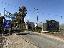
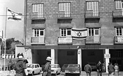
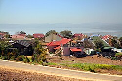
Israel effectively annexed the Golan Heights in 1981, a move not recognized by most of the international community. In 2019, the United States formally recognized Israeli sovereignty over the territory. This has led to the expansion of Israeli settlements, such as Ma'ale Gamla and the more recent Trump Heights.
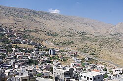
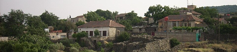
The population is split between Israeli settlers and the indigenous Druze community. The Druze, primarily residing in towns like Majdal Shams, have historically maintained a complex relationship with the Israeli administration, with some recently seeking Israeli citizenship while others remain loyal to Syria.
Economic Activity
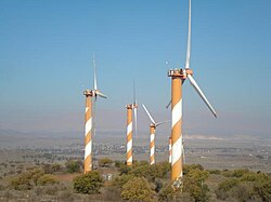
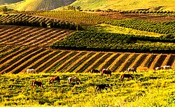
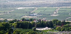
The economy of the Golan Heights is heavily based on agriculture, specifically viticulture (grape growing) and wine production. The region's volcanic soil and climate are ideal for vineyards. Additionally, Israel has explored the region for oil and gas deposits and invested in renewable energy, such as the wind farm on Mount Bnei Rasan.
| Category | Details |
|---|---|
| International Status | Recognized as Syrian; Occupied by Israel |
| Key Populations | Israeli Settlers, Druze |
| Primary Industries | Viticulture, Wind Energy, Oil/Gas Exploration |
| Major Landmarks | Mount Hermon, Nimrod Fortress, Gamla Ruins |
| UN Presence | UNDOF (Disengagement Observer Force) |
Frequently Asked Questions
![Sykes–Picot Agreement map, signed 8 May 1916, showing the Golan Heights in area "A", an independent Arab state in the French sphere of influence[164]](/images/07/b7/07b7d42fa95e5725aef39089acddc47cbdae35121a1af7d0e519db3cf875d82e.jpg)

Who currently controls the Golan Heights?
Israel has occupied and administered the Golan Heights since 1967. While Israel has annexed the territory, most of the international community still recognizes it as part of Syria.
What is the role of UNDOF in the region?
The United Nations Disengagement Observer Force (UNDOF) was established in 1974 to maintain the ceasefire between Israeli and Syrian forces and monitor the buffer zone to prevent military escalation.
Who are the Druze of the Golan?
The Druze are an ethno-religious group living in the Golan Heights. They reside primarily in villages like Majdal Shams and have a unique status, often navigating the political tensions between Syrian identity and Israeli administration.
Why is the Golan Heights strategically important?
The region is vital due to its high elevation, which provides a military vantage point over Syria and Israel, and its critical water sources that feed the Jordan River and the Sea of Galilee.
What is the significance of Gamla?
Gamla is an ancient Jewish city in the Golan Heights known for one of the earliest synagogues. It is historically significant as a site of fierce resistance against the Roman Empire in 71 CE.