Desert Landscapes: Science, Classification, and Ecosystems
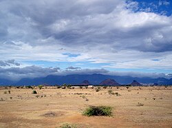
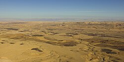
A desert is a unique landscape defined primarily by its lack of precipitation. These regions create specialized biomes and ecosystems where life must adapt to extreme conditions. Covering approximately one-third of the Earth's land surface, deserts range from scorching hot sands to frozen polar expanses. Because of the scarcity of water, the ground often remains unprotected by vegetation, leaving the surface vulnerable to denudation—the process of wearing away the Earth's surface through erosion.
Key Facts
- Deserts typically receive less than 250 mm (10 in) of annual precipitation.
- Approximately one-third of Earth's land surface is classified as arid or semi-arid.
- Deserts can be categorized by temperature, precipitation, location, or the cause of desertification.
- Polar regions, including Antarctica and the Arctic, are classified as "cold deserts."
- The water budget of a desert is often determined by the relationship between precipitation and potential evapotranspiration.
Defining Aridity and Water Cycles
To scientifically define a desert, researchers look beyond just rainfall. A critical factor is potential evapotranspiration (PE)—the amount of water that could evaporate from a region given its temperature and humidity. In many deserts, the PE is significantly higher than the actual precipitation. For instance, a location might receive 300 mm of rain annually, but the environment may have the capacity to evaporate 2,500 mm of water.
The water budget of these regions is often expressed by the formula P − PE ± S, where P is precipitation, PE is potential evapotranspiration, and S is surface water storage. This imbalance explains why even areas with moderate rainfall can function as deserts if the water evaporates faster than it can be utilized by plants or stored in the ground.
Classification of Desert Regions
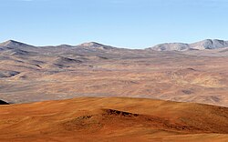
Deserts are not monolithic; they vary wildly based on altitude, temperature, and moisture levels. In 1961, Peveril Meigs established a widely accepted system for categorizing these lands based on annual precipitation:
- Extremely Arid Lands: Regions that experience at least twelve consecutive months without any precipitation.
- Arid Lands: Regions receiving less than 250 mm (9.8 in) of annual precipitation.
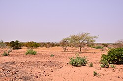
- Semiarid Lands (Steppes): Regions receiving between 250 and 500 mm (9.8 to 19.7 in) of precipitation. When these areas are covered in grass, they are known as steppes.
Types of Deserts
Beyond precipitation levels, deserts are often grouped by their environmental characteristics:
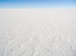
- Polar Deserts: These are "cold deserts" found in the Arctic and Antarctic regions.
- Montane Deserts: High-altitude arid regions, such as those found in the Tibetan Plateau or the Kunlun Mountains. These areas often feature extreme temperature swings between day and night.
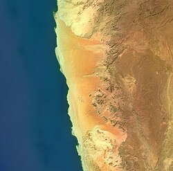
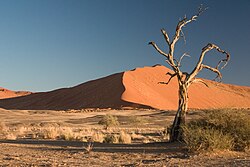
- Coastal Fog Deserts: Areas like the Namib sand sea, where moisture is provided primarily by fog rather than rain.
Geological Processes and Morphology
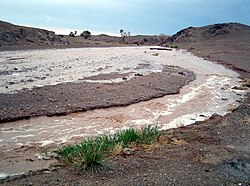
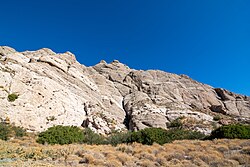
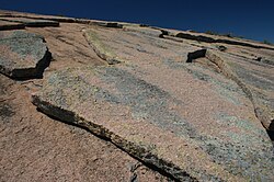
The physical appearance of a desert is shaped by intense weathering processes. Large variations in temperature between day and night cause rocks to expand and contract, eventually breaking them into smaller fragments. When rare rain events occur, they can trigger flash floods, which further erode the landscape.
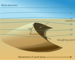
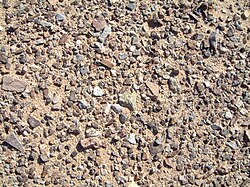
Wind plays a massive role in shaping desert morphology. As wind moves across the unprotected surface, it picks up sand and dust. This can lead to several distinct features:
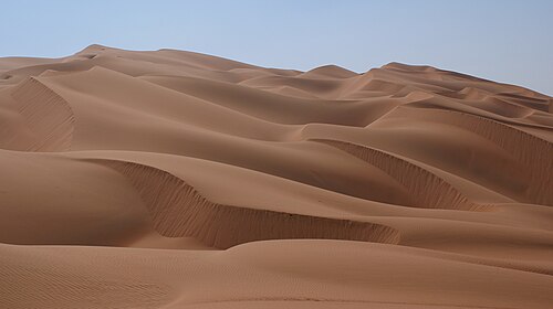
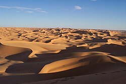
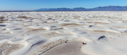
- Sand Dunes: Billowing piles of sand formed by wind deposition.
- Desert Pavement: Flat, stony plains where wind has blown away fine particles, leaving a mosaic of smooth, closely packed stones.
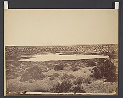
- Salt Pans: Flat areas left behind when water in temporary lakes evaporates, leaving salt deposits.
- Oases: Areas where underground water sources, such as springs or aquifers, reach the surface.
Wind-Blown Particles and Dust Storms
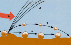
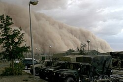
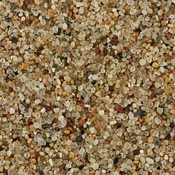
Wind transports material through different mechanisms: creep (rolling along the ground), saltation (short jumps), and suspension (remaining airborne for long periods). When wind velocity increases significantly, it can create massive dust storms or sandstorms. While sandstorms involve heavier grains that stay close to the ground, dust storms can carry much finer particles over vast distances.
Major Deserts by Area
| Rank | Desert | Location | Area (km²) | Area (sq mi) |
|---|---|---|---|---|
| 1 | Antarctic Desert | Antarctica | 14,200,000 | 5,482,651 |
| 2 | Arctic Desert | Arctic | 13,900,000 | 5,366,820 |
| 3 | Sahara Desert | Africa | 9,200,000 | 3,552,140 |
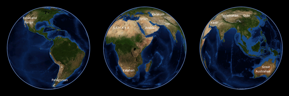
| 4 | Great Australian | Australia | 2,700,000 | 1,042,476 |
| 5 | Arabian Desert | Middle East | 2,330,000 | 899,618 |
| 6 | Gobi Desert | Asia | 1,295,000 | 500,002 |
| 7 | Kalahari Desert | Africa | 900,000 | 347,492 |
| 8 | Patagonian Desert | South America | 673,000 | 259,847 |
| 9 | Syrian Desert | Middle East | 500,000 | 193,051 |
| 10 | Great Basin Desert | North America | 490,000 | 190,000 |
Frequently Asked Questions
What is the difference between a desert and a steppe?
A desert is an arid region that typically receives less than 250 mm of annual precipitation. A steppe is a semi-arid region that receives between 250 and 500 mm of precipitation and is often characterized by grassland vegetation.
Are all deserts hot?
No. Deserts are defined by aridity, not temperature. While many are hot, polar regions like Antarctica and the Arctic are classified as cold deserts because they receive very little precipitation.
How do plants survive in the desert?
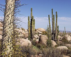
Many desert plants are xerophytes, meaning they have evolved specific adaptations to survive with minimal water. These adaptations can include storing water or having specialized structures to reduce moisture loss.
What causes a flash flood in a desert?
Even though rain is rare, occasional heavy downpours can occur. Because desert soil is often hard or lacks dense vegetation to absorb water, the runoff can accumulate rapidly, resulting in a sudden and powerful flash flood.
What is the difference between a sandstorm and a dust storm?
Sandstorms involve larger, heavier grains (up to 0.5 mm) that tend to stay closer to the ground, often moving in streams. Dust storms involve much finer particles that can be lifted high into the atmosphere and carried over long distances.