Suriname: A Diverse Republic of Rainforests and Cultures
Located on the northeastern coast of South America, Suriname is a nation defined by its extraordinary biodiversity and a multicultural society that reflects a complex colonial history. From the bustling streets of its capital, Paramaribo, to the dense, untouched canopy of the Amazonian interior, Suriname offers a unique blend of European, Asian, and African influences.
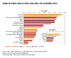
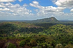
The country is most notable for its environmental wealth, boasting the highest percentage of forest cover of any nation in the world. This lush landscape is not only a sanctuary for rare wildlife but also the backbone of its natural heritage.
Key Facts
- Official Language: Dutch, with Sranan Tongo serving as the lingua franca.
- Capital: Paramaribo, the largest city and political hub.
- Environment: Holds the world's highest percentage of forest cover.
- Independence: Gained independence from the Netherlands on November 25, 1975.
- Economy: Driven by gold, bauxite, and oil production.
- Demographics: A diverse population including Hindustani, Maroon, Creole, and Javanese ethnic groups.
History and Path to Independence
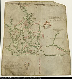
Suriname's history began with visits from French, Spanish, and English explorers in the 16th century. By the 17th century, Dutch and English settlers established plantation colonies along the fertile Guiana plains. The English established early settlements such as Marshall's Creek and a short-lived colony called Surinam between 1650 and 1667.
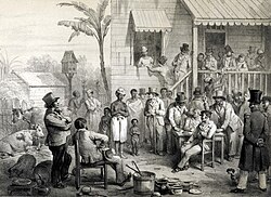
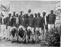
The colonial era was marked by the plantation system and the use of enslaved labor. Following the abolition of slavery, the colony turned to indentured servants, primarily from India and Java, to maintain its agricultural output.
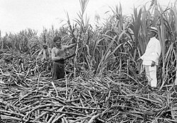
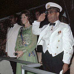
During World War II, the United States deployed 2,000 soldiers to Suriname in 1941 to protect critical bauxite mines—essential for the Allies' war effort. This period sparked a review of colonial relations, eventually leading Suriname to become a constituent country within the Kingdom of the Netherlands in 1954, and finally achieving full independence on November 25, 1975.
Geography and Biodiversity
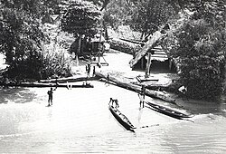
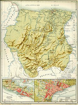
Suriname is a land of water and woods. Its geography is dominated by the tropical rainforest, with the Central Suriname Nature Reserve serving as a primary example of its preserved wilderness. The interior is crisscrossed by numerous rivers, including the Coppename River, which are vital for transport and ecology.
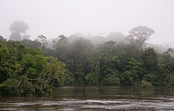
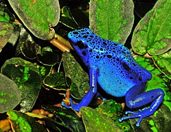
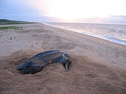
The nation's biodiversity is world-renowned. It is home to endemic species such as the blue poison dart frog and serves as a nesting ground for leatherback sea turtles near Galibi. To protect these assets, Suriname has implemented initiatives like the REDD+ Readiness Preparation Proposal to manage forest carbon and combat climate change.
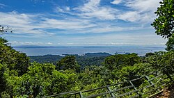
The landscape is also shaped by human engineering, such as the Brokopondo Reservoir, a massive man-made lake surrounded by rainforest.
Government and Administration
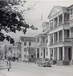
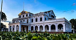
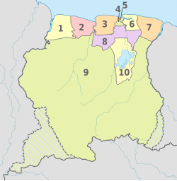
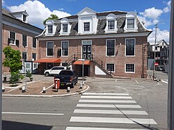
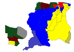
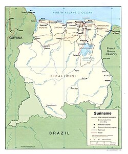
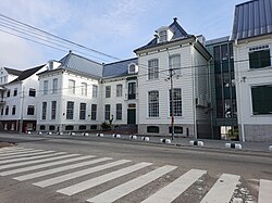
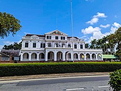
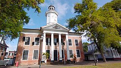
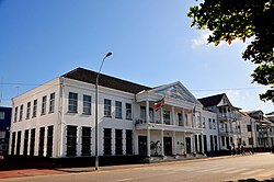
Suriname is a unitary assembly-independent presidential republic. The government is centered in Paramaribo, where the Presidential Palace and the National Assembly are located. The country is divided into ten districts, with Sipaliwini being the largest by area, covering nearly 80% of the land, while Paramaribo is the most densely populated.
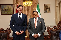
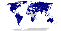
The legal and political framework is managed through the National Assembly and the Court of Justice, maintaining diplomatic relations globally to support its economic and social development.
Economy and Infrastructure
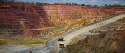
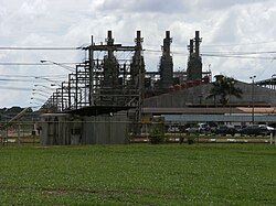
The Surinamese economy relies heavily on natural resource extraction. Bauxite (the ore used to make aluminum) and gold are primary exports, with the Rosebel gold mine being a significant operation. Additionally, the state-owned energy company, Staatsolie, contributes substantially to the national treasury through oil and gas activities.
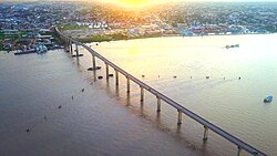
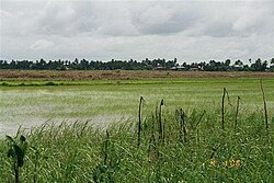
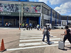
Agriculture also plays a role, particularly rice cultivation in the Nickerie District. In terms of infrastructure, the Jules Wijdenbosch Bridge is a critical link over the Suriname River, and the Johan Adolf Pengel International Airport connects the nation to the world.
Society and Culture
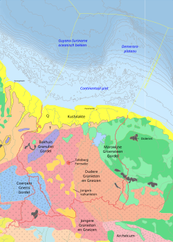
Suriname is one of the most ethnically diverse countries in the world. The population is a mosaic of Asian Surinamese (including Hindustani and Javanese), Afro-Surinamese (including Maroons and Creoles), Indigenous peoples, and a small European minority.
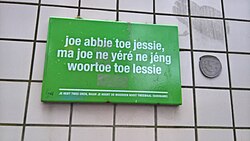
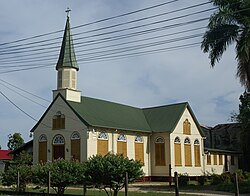
This diversity is reflected in the nation's languages and religions. While Dutch is the official language used in government and education, Sranan Tongo serves as the common tongue. Religious practices are equally varied, with Christianity, Hinduism, and Islam all maintaining a strong presence.
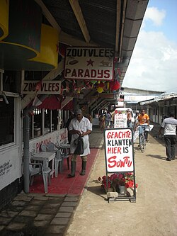
Cultural life is celebrated through numerous holidays, including Emancipation Day (July 1), Indigenous People's Day (August 9), and Independence Day (November 25), as well as religious festivals like Phagwah and Diwali.
| Category | Detail |
|---|---|
| Total Area | 165,940 km² |
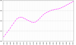
| Estimated Population (2022) | 632,638 |
| Official Language | Dutch |
| Currency | Surinamese dollar (SRD) |
| GDP per capita (PPP 2025 est.) | $22,439 |
| HDI (2023) | 0.722 (High) |
Frequently Asked Questions
What is the official language of Suriname?
The official language is Dutch, which is used in government, business, and education. However, Sranan Tongo is the widely spoken lingua franca among the diverse population.
Why is Suriname's forest cover significant?
Suriname has the highest percentage of forest cover in the world, making it a critical global asset for biodiversity and carbon sequestration.
What are the main drivers of Suriname's economy?
The economy is primarily driven by the extraction of gold and bauxite, as well as oil and gas production through Staatsolie.
Which ethnic groups make up the population of Suriname?
The population is composed of Asian Surinamese (Hindustani, Javanese, Chinese), Afro-Surinamese (Maroons, Creoles), Indigenous peoples, and Europeans.
When did Suriname become independent?
Suriname gained its full independence from the Netherlands on November 25, 1975.