La Paz: Bolivia's High-Altitude Seat of Government
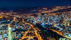
Perched high in the Andes Mountains, La Paz (officially Nuestra Señora de La Paz) serves as the seat of government for Bolivia. Known for its dramatic topography and vibrant culture, it is the third-most populous city in the country with 755,732 residents as of 2024. When combined with the neighboring city of El Alto and surrounding towns, the metropolitan area reaches a population of 2.2 million, making it the second-largest urban center in Bolivia.
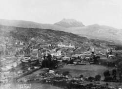
Founded on October 20, 1548, by Alonso de Mendoza, the city has evolved from a colonial outpost into a sprawling metropolis that blends indigenous Aymara heritage with Spanish influence. Its independence was declared on July 16, 1809.
Key Facts
- Elevation: 3,650 meters (11,980 feet) above sea level.
- Status: Seat of Government of Bolivia and capital of the La Paz Department.
- Transit: Home to Mi Teleférico, the world's largest aerial cable car urban transit system.
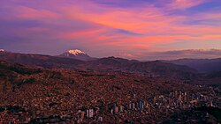
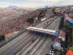
- Geography: Dominated by the snow-capped Illimani mountain.
- Economy: Metropolitan GDP (PPP) of $14.6 billion (2023).
Geography and Climate
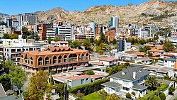
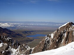
La Paz is defined by its mountainous geography, situated in a deep canyon that provides a stark contrast between the city center and the high plateau of El Alto. The skyline is dominated by the massive Illimani mountain, a constant landmark for residents and visitors alike.
Due to its extreme altitude and location, the city experiences an unusual climate. It is characterized by rainy summers and dry winters, with very little temperature seasonality throughout the year. The city's water supply is primarily sourced from nearby lakes fed by Andean glaciers.
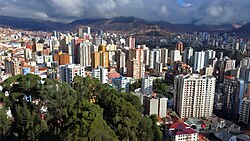
City Layout and Architecture
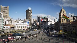
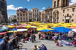
The city is divided into several districts, ranging from the dense urban center to rural areas like Zongo and Hampaturi. The Centro district is the heart of the city, featuring a mix of modern commerce and well-preserved Spanish Colonial buildings.
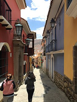
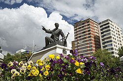
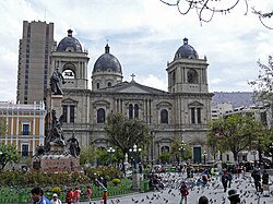
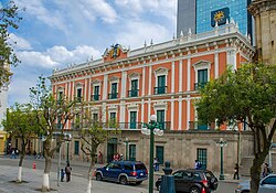
Notable architectural landmarks include the Basilica of San Francisco, built in 1743, and the Cathedral Basilica of Our Lady of Peace, erected in 1835. The Palacio Quemado also stands as a significant site of political power.
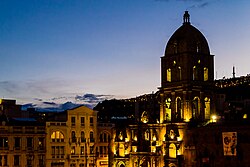
Prominent Neighborhoods
- Sopocachi: A residential and cultural hub featuring Plaza Abaroa.
- Miraflores: A key urban zone known for its commercial activity.
- Calacoto: Located in the Southern district, representing the city's modern expansion.
Culture and Tourism
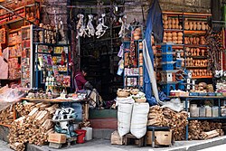
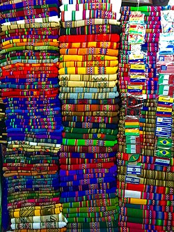
La Paz is a center of Bolivian tradition and spirituality. One of the most famous tourist attractions is the Witches' Market, where traditional remedies and ritual items are sold. The city is also known for its vibrant textiles, specifically the colorful aguayos.
Local gastronomy is highlighted by the plato paceño, a traditional dish consisting of lima beans, potatoes, white corn, and fried cheese. The city also celebrates the Alasitas fair, where citizens purchase miniature gifts and pray to Ekeko, the God of prosperity.

Major Attractions
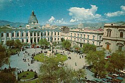
- Plaza Murillo: The city's main square and political center.
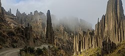
- Valle de la Luna: A geological formation on the outskirts of the city.
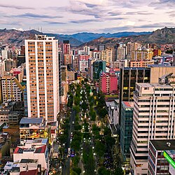
- Paseo del Prado: One of the city's primary thoroughfares.
Infrastructure and Transportation
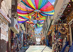
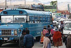
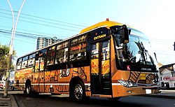
Navigating the steep terrain of La Paz requires a diverse transport network. While traditional micros (bus systems managed by driver unions) and PumaKatari buses handle ground traffic, the city has revolutionized transit with Mi Teleférico.
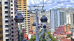
This cable car system consists of multiple lines (including the Red, Yellow, Green, Blue, Orange, White, Sky Blue, and Purple lines) that connect the city center with El Alto and other outlying districts, bypassing the congested streets below.
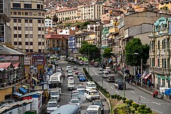
Transportation Summary
| System | Type | Key Feature |
|---|---|---|
| Mi Teleférico | Aerial Cable Car | Largest urban cable car network in the world |
| Micros | Public Bus | Traditional union-managed transit |
| PumaKatari | Municipal Bus | Modernized city bus fleet |
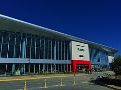
| El Alto Int. Airport | Air | Primary gateway to the region |
Education and Sports
La Paz is a leading educational hub in Bolivia, hosting prestigious institutions such as the Universidad Mayor de San Andrés (UMSA), founded in 1830, and the Universidad Católica Boliviana San Pablo.
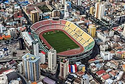
In sports, the city is a passionate center for football, with the Hernando Siles Stadium serving as a primary venue. Numerous clubs compete in the first and second divisions, including Always Ready and Deportivo Municipal.
Frequently Asked Questions
What is the elevation of La Paz?
La Paz is situated at an average elevation of 3,650 meters (11,980 feet) above sea level.
What is Mi Teleférico?
Mi Teleférico is the world's largest urban aerial cable car transit system, used to transport residents across the city's mountainous terrain and connect La Paz with El Alto.
What is the traditional dish of La Paz?
The traditional dish is the plato paceño, which consists of lima beans, potatoes, white corn, and fried cheese.
Which mountain dominates the La Paz skyline?
The snow-capped Mount Illimani is the most prominent mountain dominating the city's skyline.
What is the Witches' Market?
The Witches' Market is a popular tourist spot in the city center where traditional Aymara ritual items and herbal remedies are sold.