South West Coast Path: A Comprehensive Journey from Minehead to Poole
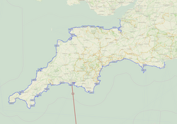
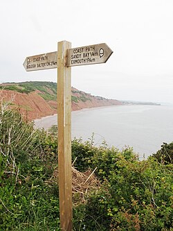
The South West Coast Path is one of the most spectacular long-distance trails in the world, tracing the rugged edges of Somerset, Devon, Cornwall, and Dorset. From the rolling hills of Exmoor to the dramatic cliffs of the Jurassic Coast, this path offers a diverse tapestry of landscapes, including sandy beaches, historic harbours, and soaring headlands.
Whether tackled as a single epic expedition or broken into smaller segments over several years, the path provides an immersive experience of England's southwestern coastline. While a typical hiker may take between 30 and 60 days to complete the journey, elite athletes have pushed the limits of human endurance to finish the route in under ten days.
Key Facts
- Route: Anticlockwise from Minehead (Somerset) to Poole (Dorset).
- Highest Point: Great Hangman in North Devon (1,043 feet / 318 m).
- Most Westerly Point: Land's End, Cornwall.
- Most Southerly Point: Lizard Point, Cornwall.
- Infrastructure: Historically recorded with over 26,000 steps, 921 stiles, and 302 bridges.
- Fastest Known Time: 9 days, 13 hours, and 40 minutes (Dan Lawson, July 2025).
Somerset and the Exmoor Coast
The journey begins in Minehead, Somerset, marked by a commemorative stone erected in 2001. The path quickly ascends into the Exmoor National Park, where walkers encounter a landscape of rocky headlands and waterfalls. This region was designated a Heritage Coast in 1991, and its coastal heaths are a Site of Special Scientific Interest (SSSI) due to their biological diversity.
A notable highlight in this section is Culbone Church, recognized as the smallest parish church in England. As the path moves north, it connects with the Coleridge Way before crossing the boundary into Devon.
North Devon: Peaks and Dunes
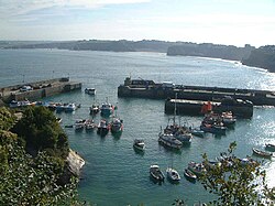
In North Devon, the path reaches its physical zenith at Great Hangman, the highest point on the trail at 1,043 feet (318 m) and the highest cliff on mainland Britain. The route passes through the Valley of Rocks, famous for its wild goats, and the village of Combe Martin, which boasts one of England's longest village streets.
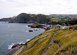
The landscape shifts toward the North Devon Coast Area of Outstanding Natural Beauty (AONB), featuring the vast Saunton Sands and the Braunton Burrows. The latter is a psammosere (a succession of plant communities in a sandy environment) and a UNESCO Biosphere Reserve, hosting over 400 vascular plant species.
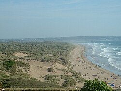
The path eventually follows the River Taw and Torridge, crossing the historic Long Bridge at Bideford before entering Cornwall.
North and West Cornwall: Rugged Beauty
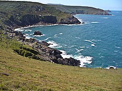
Entering Cornwall at Marsland Mouth, the path traverses a rocky coastline past Bude and Boscastle. The route is steeped in legend, particularly around Tintagel, which is closely associated with the stories of King Arthur.
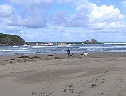
As walkers move toward West Cornwall, they encounter the Towans (sand dunes) of St Ives Bay. This area, once used for explosives manufacture, now leads to the artistic hub of St Ives, home to the Tate St Ives and the Barbara Hepworth Museum.
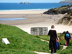
The path reaches Land's End, the most westerly point of mainland England, before turning south. This section is marked by the mining heritage of the region, with abandoned engine houses like Wheal Prosper standing as monuments to Cornwall's industrial past.
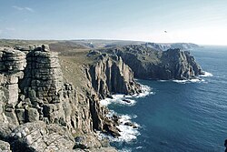
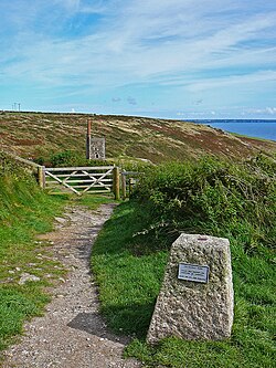
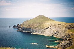
The journey continues to Lizard Point, the most southerly point of the British mainland, where the cliffs of Kynance Cove provide some of the most photographed scenery in the UK.
South Cornwall and South Devon
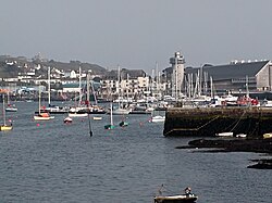
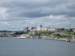
The southern stretch of Cornwall takes hikers through the china clay ports of Charlestown and Par. The path links with the Saints' Way and passes through the military firing ranges of Whitsand Bay before entering Plymouth Sound.
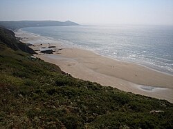
Crossing into South Devon, the route enters the South Hams district. Walkers must be mindful of the tides when fording the River Erme at Erme Mouth. The path passes through the South Devon AONB, including the shingle causeway of Slapton Sands and the historic port of Dartmouth.
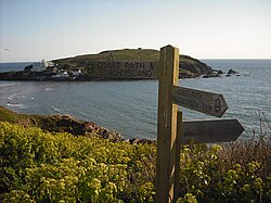
The trail then reaches Torbay, known as "The English Riviera," passing through the seaside towns of Brixham, Paignton, and Torquay.
Dorset and the Jurassic Coast
The final leg of the journey enters Dorset, where the path shares a route with the Monarch's Way. This section is world-renowned as the Jurassic Coast, featuring geological wonders such as Lulworth Cove and the natural arch of Durdle Door.
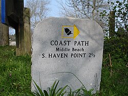
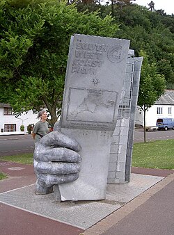
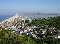
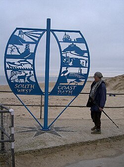
A major geographical feature here is Chesil Beach, an 18-mile-long tombolo (a ridge of sand or shingle connecting an island to the mainland). The path circumnavigates the Isle of Portland and passes through Weymouth before concluding at the sculpture at South Haven Point in Studland, Poole.
Route Summary Table
| Region | Key Landmark | Notable Feature |
|---|---|---|
| Somerset | Exmoor National Park | Culbone Church (Smallest in England) |
| North Devon | Great Hangman | Highest point on the path (1,043 ft) |
| North Cornwall | Tintagel Castle | Legendary King Arthur associations |
| West Cornwall | Land's End & Lizard Point | Westerly and Southerly extremes |
| South Cornwall | Charlestown | China clay industry heritage |
| South Devon | Torbay | The English Riviera |
| Dorset | Lulworth Cove | Jurassic Coast geology |
Frequently Asked Questions
How long does it take to walk the entire South West Coast Path?
For most walkers, it takes between 30 and 60 days to complete the full route. However, many people choose to hike it in shorter segments over several years.
What is the highest point on the path?
The highest point is Great Hangman in North Devon, reaching an elevation of 1,043 feet (318 metres). It is also considered the highest cliff on mainland Britain.
Are there any shortcuts available on the route?
Yes, there is an alternative route around Weymouth and Portland via the South Dorset Downs that reduces the distance by 19.25 miles (31 km). Additionally, skipping the loop around the Isle of Portland saves 13.2 miles (21.2 km).
What is a psammosere, and where can I see one?
A psammosere is a succession of plant communities that develop on sand. A prime example can be found at Braunton Burrows in North Devon, which is a UNESCO Biosphere Reserve.
Who holds the record for the fastest completion of the path?
As of July 2025, the fastest known time was set by Dan Lawson, who completed the route in 9 days, 13 hours, and 40 minutes.