Santiago: The Vibrant Heart of Chile
Perched at an elevation of 570 meters, Santiago serves as the bustling capital of Chile and the primary economic and cultural hub of the nation. Known as "The City of the Island Hills," it is a metropolis where colonial heritage blends seamlessly with futuristic skyscrapers, all set against the dramatic backdrop of the Andes mountains.
Key Facts
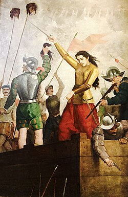
- Founded: February 12, 1541, by Pedro de Valdivia.
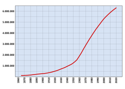
- Population: Approximately 6.27 million in the city and 6.9 million in the metropolitan area (2017).
- Economy: A GDP of US$117.1 billion (2023) with a per capita GDP of US$17,000.
- HDI: 0.908 (2023), ranking as very high.
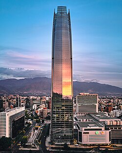
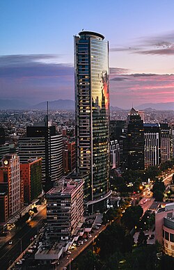
- Landmark: Home to the Gran Torre Costanera, the tallest building in South America.
Historical Evolution
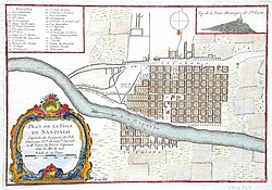
The city was founded in 1541 by Pedro de Valdivia and named after Saint James. Its early years were marked by the struggles of colonial establishment and the defense of the settlement.
![The Founding of Santiago (1888), oil painting by Pedro Lira (1888). The artwork depicts Pedro de Valdivia and Juan Martín de Candia, proclaiming the founding of the city.[9]](/images/da/b0/dab05f5e7b857886000a45ce22b5ad22ba75f5a572c61f2746029344ef63f6d5.jpg)
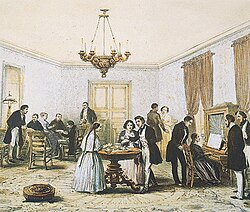
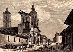
During the colonial era, Santiago grew into a structured city with religious and administrative centers. The tertulia—social gatherings for conversation and tea or mate—became a staple of the local upper-class culture in the early 19th century.
![[Colonial] Tertulia and Mate party in Santiago de Chile, in 1821, by Scharf and Schmidtmeyer. John Carter Brown Library.[25]: 240, 266 [26]](/images/93/82/938238964d54e9d8673f51634b5463dba016f355296d6d92b39f0df3f7279cdc.jpg)
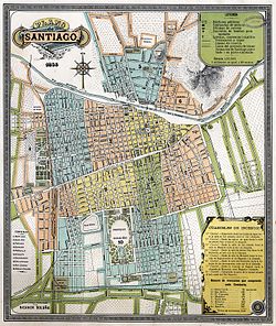
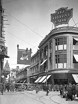
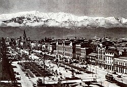
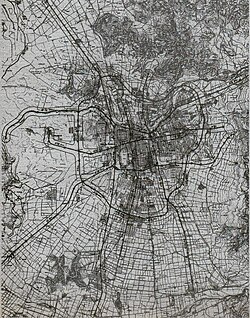
As Chile transitioned into a republic, the city underwent significant transformations. The 19th and early 20th centuries saw a period of modernization, followed by a massive population explosion that expanded the city into the Greater Santiago area we recognize today.
Geography and Climate
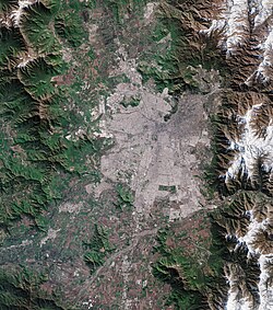
Santiago is located in the Santiago Metropolitan Region, characterized by its valley setting. The climate is Mediterranean, featuring warm, dry summers and cool, rainy winters. Precipitation is concentrated heavily between May and August.
| Metric | Summer (Jan/Feb) | Winter (Jun/Jul) | Annual Average |
|---|---|---|---|
| Mean Max Temp (°C) | 29.7 – 30.2 | 15.0 – 16.0 | 22.9 – 23.2 |
| Mean Min Temp (°C) | 13.0 – 13.5 | 2.6 – 4.7 | 7.8 – 8.7 |
| Precipitation (mm) | Low (< 1mm) | High (50 – 80mm) | 221 – 286mm |
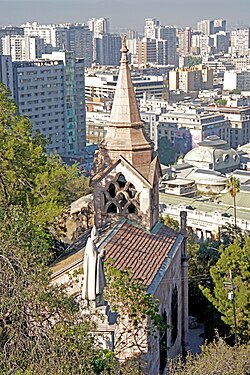
The city's geography is defined by its surrounding hills, including Santa Lucía and San Cristóbal, which provide panoramic views of the urban sprawl.
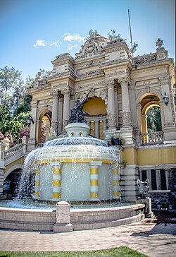
Urban Infrastructure and Economy
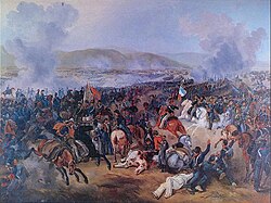
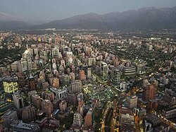
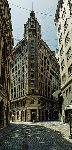
Santiago is a global financial center with a highly developed infrastructure. The skyline is dominated by the Sanhattan district, featuring the Gran Torre Costanera and Titanium La Portada.
Transportation
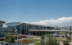
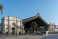
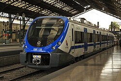
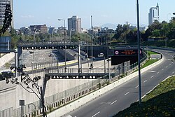
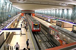
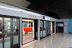
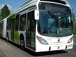
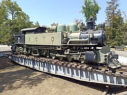
The city boasts a comprehensive transport network, including the Santiago Metro, an extensive bus system (formerly Transantiago), and the Arturo Merino Benítez International Airport. Rail connectivity is provided by the Empresa de los Ferrocarriles del Estado.
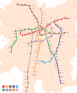
Administrative Divisions
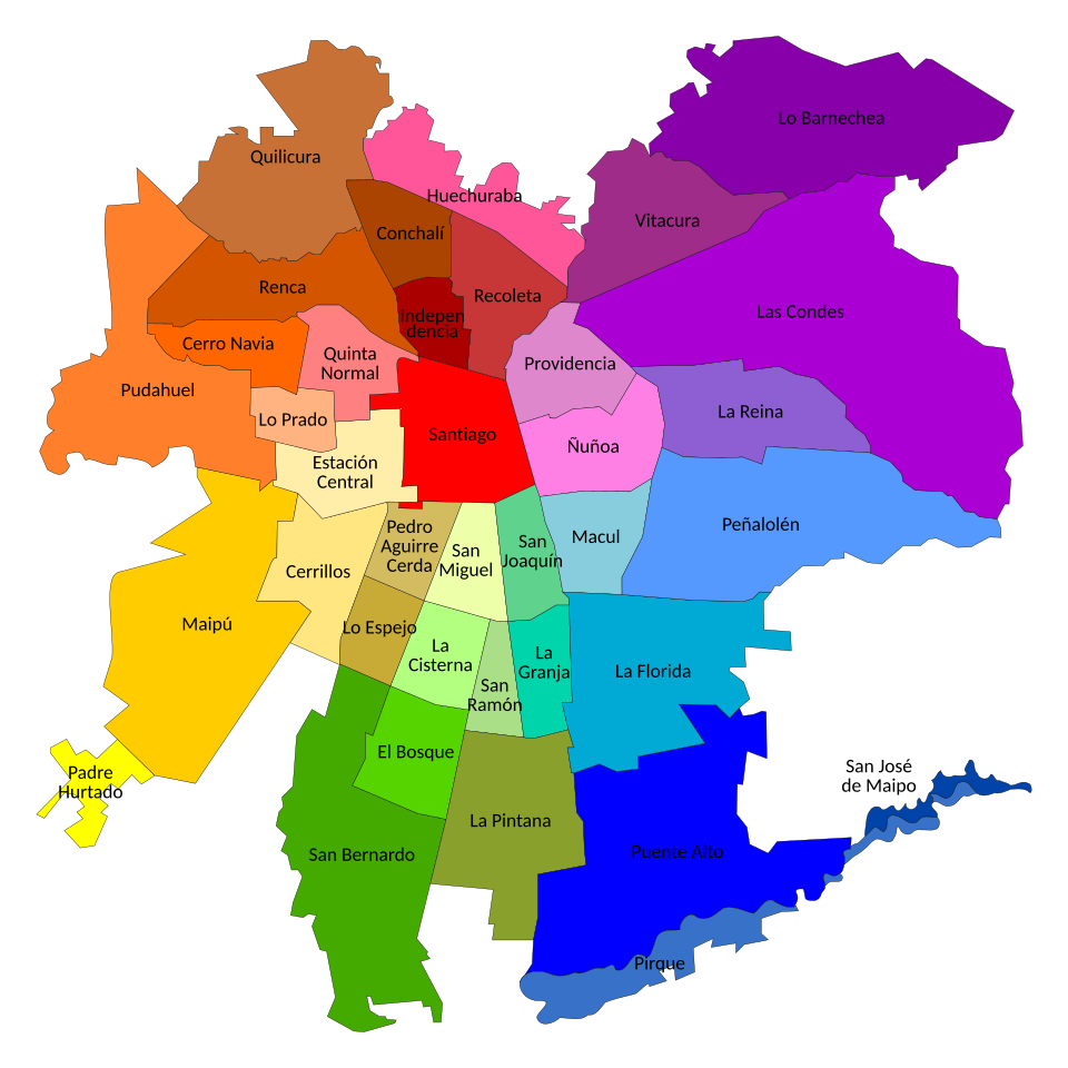
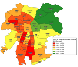
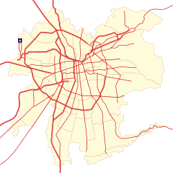
The city is divided into numerous communes, including Santiago Centro, Las Condes, Providencia, and Maipú, each contributing to the diverse socio-economic fabric of the metropolis.
Culture, Education, and Recreation
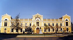
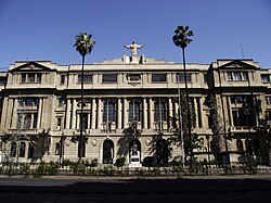
Santiago is the intellectual heart of Chile, hosting prestigious institutions such as the Universidad de Chile and the Pontificia Universidad Católica de Chile.
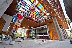
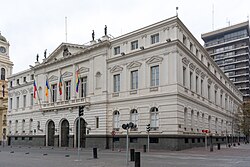
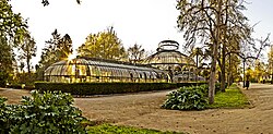
Cultural life is rich and varied, with venues like the Museo de Bellas Artes and the Gabriela Mistral Cultural Center. The city is also known for its expansive green spaces, such as O'Higgins Park and the Quinta Normal Park.
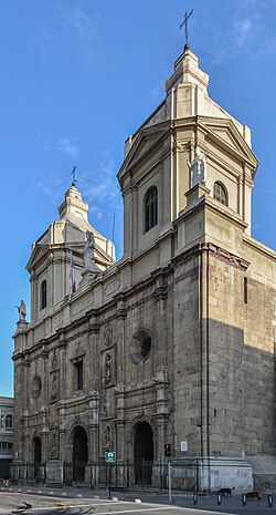
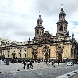
Religious heritage is preserved in landmarks like the Metropolitan Cathedral, which took over 150 years to complete, and the colonial Church of Santo Domingo.
Frequently Asked Questions
!["Tertulia in a house of a very hospitable family of Santiago de Chile", in 1821, by Scharf and Schmidtmeyer. John Carter Brown Library.[25]](/images/92/71/9271a867b60740f4e47a3f02236c6a6924e340394d6f1707dfd30de48d24274f.jpg)
Who founded the city of Santiago?
Santiago was founded on February 12, 1541, by the Spanish conquistador Pedro de Valdivia.
What is the tallest building in Santiago?
The Gran Torre Costanera is the tallest building in Santiago, as well as the tallest in South America.
What is the typical weather in Santiago?
Santiago has a Mediterranean climate with hot, dry summers and cool, wet winters, with most rain falling between June and August.
Which universities are most prominent in the city?
The Universidad de Chile and the Pontificia Universidad Católica de Chile are among the most traditional and prominent higher education institutions in the city.
How is the city's public transportation organized?
Public transport is primarily managed through a combination of the Santiago Metro, a comprehensive bus network, and commuter rail services.