New Haven: The Historic Elm City of Connecticut
Known affectionately as the Elm City, New Haven is a vibrant coastal city in South Central Connecticut. Founded in 1638, it has evolved from a Puritan colony into a world-renowned center for education, culture, and industry. With its unique blend of historic Collegiate Gothic architecture and a modern urban landscape, New Haven serves as a critical hub for the region's economy and intellectual life.
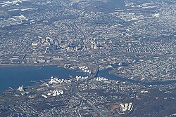
The city's identity is deeply intertwined with its geography, centered around a natural harbor and the Quinnipiac River. From its early days as an independent colony to its current status as a diverse metropolitan center, New Haven continues to balance its rich heritage with forward-looking urban redevelopment.
Key Facts
- Founded: April 3, 1638, as a town; incorporated as a city in 1784.
- Nickname: The Elm City.
- Population: 134,023 (2020 Census), with a 2025 estimate of 138,774.
- Government: Mayor–board of aldermen system, currently led by Mayor Justin Elicker.
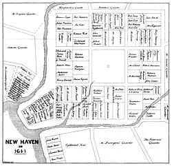
- Key Landmark: The New Haven Green, the center of the city's original nine-square plan.
- Global Connection: Maintains sister city relationships with cities in Israel, Italy, France, China, Sierra Leone, Vietnam, Nicaragua, Taiwan, and Mexico.
History and Evolution
Colonial Foundations
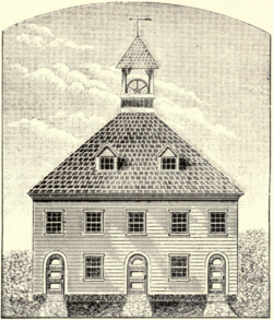
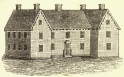
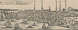
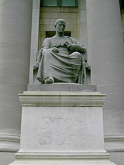
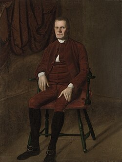
New Haven was settled on April 3, 1638, initially as an independent colony. Its early layout was defined by a strict nine-square plan, a design that still influences the downtown area today. The city's early leadership included figures like Theophilus Eaton and Roger Sherman, the latter of whom served as New Haven's first mayor and was a signer of both the Declaration of Independence and the Constitution.
Industrialization and Growth
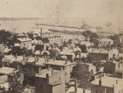
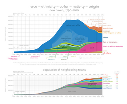
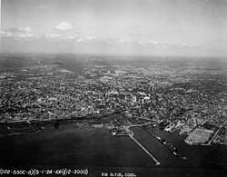
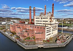
Following the post-colonial period, New Haven underwent significant industrialization. The city's strategic location on a natural harbor facilitated trade and the growth of its port. By the 19th century, the city had become a major commercial center, though its population fluctuated over the decades, peaking in the mid-20th century before shifting during the post-industrial era.
Urban Redevelopment
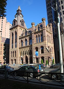
In recent decades, New Haven has focused on urban redevelopment, transitioning from a manufacturing base to a knowledge-based economy. This shift is heavily supported by the presence of Yale University and the growth of the bioscience sector, which has brought new infrastructure and investment to the downtown core.
Geography and Climate
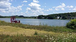
New Haven covers approximately 20.14 square miles, with the majority being land (18.69 sq mi). The city is characterized by its coastal location and the presence of the Quinnipiac River. The terrain includes notable landmarks such as East Rock and West Rock.
The climate is typical of the Northeastern United States, featuring four distinct seasons. The city experiences significant precipitation throughout the year, averaging 41.79 inches annually, with snowfall peaking in the winter months.
| Metric | Winter (Jan) | Spring (Apr) | Summer (Jul) | Autumn (Oct) |
|---|---|---|---|---|
| Mean Max Temp (°F) | 56.4 | 76.9 | 91.1 | 77.8 |
| Daily Mean Temp (°F) | 30.5 | 48.5 | 73.9 | 54.7 |
| Mean Min Temp (°F) | 23.0 | 39.3 | 65.7 | 45.5 |
| Avg Precipitation (in) | 2.72 | 4.19 | 3.36 | 3.78 |
Culture and Education
The Yale Influence
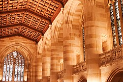
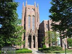
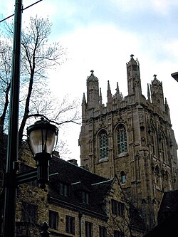
Yale University is a cornerstone of New Haven's identity. The campus is famous for its Collegiate Gothic architecture—a style characterized by pointed arches and ornate stonework—and houses world-class facilities such as the Sterling Memorial Library and the Peabody Museum of Natural History.
Culinary Traditions
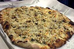
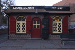
New Haven is globally recognized for its unique culinary contributions. The city is the birthplace of New Haven-style pizza, specifically the white clam pizza popularized by institutions like Pepe's. Additionally, Louis' Lunch is reputedly the site where the hamburger was invented in 1900.
Infrastructure and Transportation
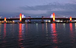
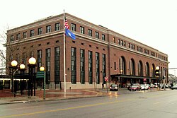
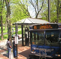
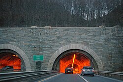
The city is well-connected via several modes of transport. The Port of New Haven serves as a vital maritime gateway, while Union Station provides commuter rail access via the Hartford Line to cities like Springfield, Massachusetts. For road travel, the Pearl Harbor Memorial Bridge (the Q Bridge) and the Wilbur Cross Parkway are essential arteries.
City Skyline
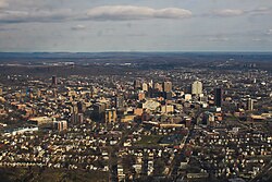
The skyline is dominated by a few key structures, the tallest being the Connecticut Financial Center at 383 feet, followed by 360 State Street and the Knights of Columbus Building.
Frequently Asked Questions

Why is New Haven called the Elm City?
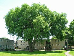
New Haven earned the nickname "The Elm City" due to the abundance of American elm trees that once lined its streets and defined its landscape.
What is the significance of the New Haven Green?
The New Haven Green is the center of the city's original 1638 nine-square plan and remains a central public space for the downtown area.
What is New Haven-style pizza?
New Haven-style pizza is a regional specialty known for its thin crust and charred edges, with white clam pizza being one of its most famous variations.
Who was the first mayor of New Haven?
The first mayor of New Haven was Roger Sherman, who was also a signer of the Declaration of Independence and the U.S. Constitution.
What is the tallest building in New Haven?
The tallest building in the city is the Connecticut Financial Center, which stands at 383 feet with 26 floors.