Muisca Confederation: The Complex Society of the Colombian Andes
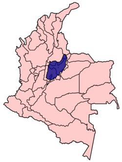
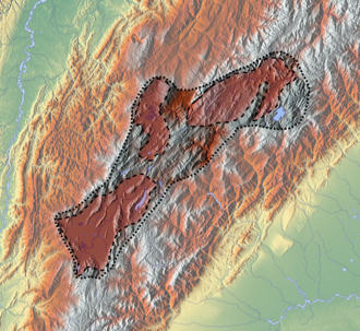
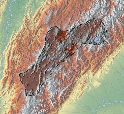
The Muisca were a sophisticated complex society that flourished in the high plateaus of the Colombian Andes from approximately 800 to 1540. Occupying a vast territory across modern-day Cundinamarca, Boyacá, and Santander, they developed a highly organized political structure and a rich cultural heritage that left a lasting mark on the region.
Their civilization was characterized by a unique confederation of chiefdoms, a thriving economy based on salt and emeralds, and a deep spiritual connection to the landscape, particularly its lakes and mountains.
Key Facts
- Timeline: Flourished from c. 800 to 1540.
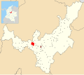
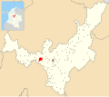
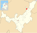
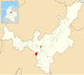
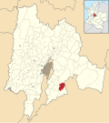
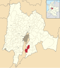
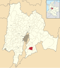
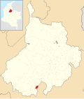
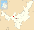
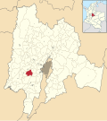
- Geography: Located in the Eastern Cordillera of Colombia (Cundinamarca, Boyacá, and Santander).
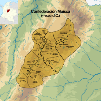
- Political Structure: A confederation led by powerful figures known as the Zipa and the Zaque.
- Economy: Centered on the production of salt, emeralds, and ceramics.
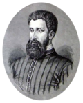
- Conquest: The Spanish conquest began in earnest in 1537, led by Gonzalo Jiménez de Quesada.
Political Organization and Leadership
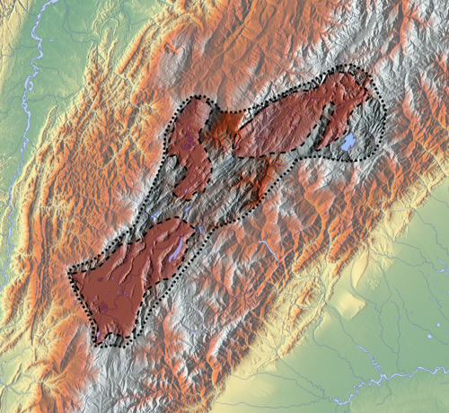
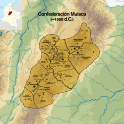
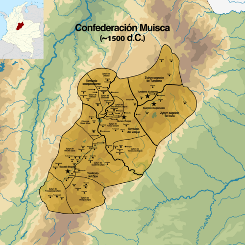
The Muisca were not a single unified empire but a confederation of chiefdoms. The two most powerful leaders were the Zipa and the Zaque, who governed the southern and northern regions respectively.
The Zipa of Bacatá
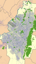
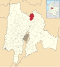
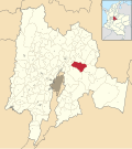
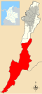
The Zipa ruled over the Bogotá savanna (Bacatá), managing a territory of approximately 5,430 square kilometers with an average elevation of 2,470 meters. Notable Zipas included Nemequene and Tisquesusa. The Zipa's domain was a hub of political power and economic activity.
The Zaque of Hunza
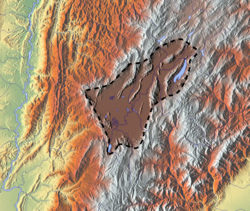
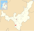
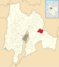
The Zaque governed the northern region from Hunza (modern-day Tunja), overseeing an area of about 4,700 square kilometers. The Zaque's authority was centered in the highlands of Boyacá, where the average elevation reached 2,270 meters. Famous leaders included Saguamanchica and Quemuenchatocha.
Other Regional Powers
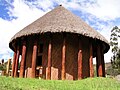
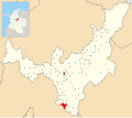
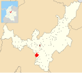
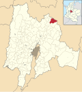
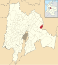
Beyond the two primary leaders, other significant entities existed, such as the Iraca, who held spiritual authority at the Sun Temple in Sugamuxi (Suamox), and the Tundama, who ruled a territory of 2,920 square kilometers. Additionally, smaller communities were led by independent caciques (local chiefs).
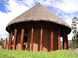
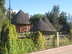
Geography and Environment
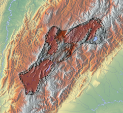
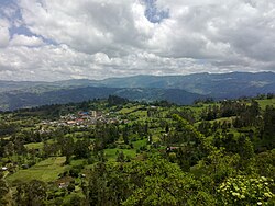
The Muisca territory was defined by its extreme altitudes and diverse topography. The region spanned from the lowest point in Charalá (1,290 m) to the highest peak in Aquitania (3,030 m).
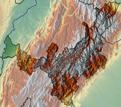
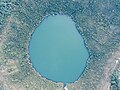
The landscape was dotted with sacred lakes, such as Lake Guatavita and Lake Iguaque, which played central roles in their religious rituals. The environment provided the Muisca with essential resources, including fertile soil for agriculture and rich mineral deposits.
Economy and Material Culture
The Muisca economy was one of the most advanced in the pre-Columbian Americas, relying on a combination of agriculture, mining, and trade.
- Salt Mining: The Muisca controlled vital salt mines, which served as a primary currency for trade with neighboring tribes.
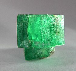
- Emeralds: They were renowned for mining high-quality emeralds, which were highly prized for both trade and ritual use.
- Ceramics and Gold: They produced sophisticated ceramics and goldwork, often creating intricate pieces for religious offerings.
- Trade: Market towns were central to their society, facilitating the exchange of goods across the confederation.
The Spanish Conquest
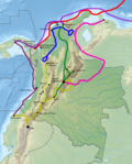
The collapse of the Muisca Confederation began with the arrival of Spanish conquistadors in the early 16th century. The main expedition, led by Gonzalo Jiménez de Quesada, entered Muisca territory in March 1537.
The conquest progressed rapidly through a series of strategic captures and battles:
- Funza: Conquered on April 20, 1537.
- Hunza: Captured on August 20, 1537.
- Sogamoso: Fallen in early September 1537.
- Bogotá: The first Spanish city was founded on August 6, 1538.
- Duitama: The conquest of Tundama was completed by December 15, 1539.
By 1540, the primary political structures of the Muisca had been dismantled, although some cultural practices and small communities persisted for decades.
Summary of Muisca Regional Power Centers
| Entity | Primary Leader | Main Center | Approx. Area (sq km) | Avg. Elevation (m) |
|---|---|---|---|---|
| Southern Confederation | Zipa | Bacatá (Bogotá) | 5,430 | 2,470 |
| Northern Confederation | Zaque | Hunza (Tunja) | 4,700 | 2,270 |
| Sugamuxi | Iraca | Suamox | 4,163 | 2,630 |
| Tundama | Cacique | Duitama | 2,920 | 2,470 |
Frequently Asked Questions


Who were the Zipa and the Zaque?
The Zipa and the Zaque were the two most powerful hereditary rulers of the Muisca Confederation. The Zipa ruled the southern region (Bacatá), while the Zaque ruled the northern region (Hunza).
What were the primary economic drivers of the Muisca?
The Muisca economy was driven by the mining and trade of salt and emeralds, as well as the production of high-quality ceramics and goldwork.
When did the Spanish conquest of the Muisca occur?
The conquest took place primarily between 1537 and 1540, led by Gonzalo Jiménez de Quesada and his soldiers.
What was the significance of the Sun Temple?
The Sun Temple in Sugamuxi was the seat of the Iraca and served as the most important spiritual center for the Muisca religion.
Where was the Muisca Confederation located?
It was located in the high Andean plateaus of present-day Colombia, specifically within the departments of Cundinamarca, Boyacá, and Santander.